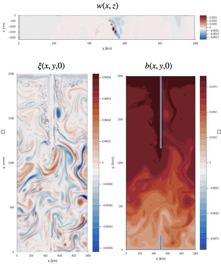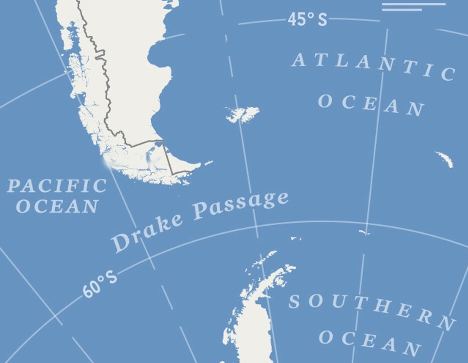
Infamous for its ferocious waves, violent winds, and copious shipwrecks, the Drake Passage cuts between the tip of South America and the outstretched arm of Antarctica. The passage is the bottleneck through which the largest ocean current must pass, and it exerts outsized influence on global climate dynamics. As such, it is an ideal test ground for the Differentiable programming in Julia for Earth system modeling (DJ4Earth) initiative. In a recent paper published in the American Geophysical Union’s Journal of Advances in Modeling Earth Systems, a team of researchers introduced a new framework for simulating components of the Earth and, to demonstrate the framework’s versatility, tested it on four different Earth component models — among them, an idealized ocean model of the Drake Passage.
When modeling a patch of ocean like the Southern Ocean around Drake Passage, a universal problem of computational science emerges: how much detail can a model capture without breaking the bank?
“There is a fundamental tension within ocean modeling. As you increase the resolution of the ocean grid, the model is expected to become more accurate, but the computational cost also shoots up,” explains Joseph Kump, a fifth-year graduate student at the Oden Institute for Computational Engineering and Sciences who led the ocean modeling section of the study. “There are so many fine-grained processes that affect the ocean on a large scale, but you can’t accurately represent them within 100-kilometer (62-mile) resolution.”
To mitigate this issue, large models like Oceananigans.jl (the software used to model the ocean around Drake Passage, whose name is a wordplay on “Ocean” and “shenanigans”) turn to parameterization. Parameterization essentially lumps all of the small processes together and approximates their collective effect. One example of a tiny but mighty phenomenon that gets swept up into a larger parameter is mesoscale eddies.
Eddies are considered the ‘weather’ of the ocean and are the most energetic component of the oceanic environment. Their swirling patterns outside the main ocean current help move energy, nutrients, and warm and cool water temperatures around the globe.
“The largest eddies, known as geostrophic or mesoscale eddies, span roughly 5 to 200 kilometers (3 to 124 miles) and add a lot of kinetic energy and turbulence to the ocean system, which influences the bigger flows that you can explicitly model,” explained Kump. “If you don't consider mesoscale eddies, then you're ignoring a major conduit of larger processes within the ocean.” This gap between mesoscale eddies’ small size and their large influence is what makes parameterization (rather than explicit modeling) the practical choice for global ocean general circulation models.