More than half of the U.S. population lives in coastal watershed counties or parishes. Coastal communities along the Gulf of Mexico are among the most heavily populated – also a region where high concentrations of energy resources have made it a national hub for many large-scale carbon-to-capture storage facilities.
The proximity to the ocean of both local communities and energy infrastructures make both extremely vulnerable to the devastation that can be caused by flooding and wind damage from severe weather events in the Gulf, which are increasing in both frequency and intensity with every hurricane season.
Clint Dawson, a professor in the Department of Aerospace Engineering and Engineering Mechanics (ASE/EM) and director of the Computational Hydraulics Group at the Oden Institute for Computational Engineering and Sciences at UT Austin, is working to make storm surge predictions for hurricanes more accurate than ever. Thanks to a new grant from the Department of Energy (DOE), Dawson will lead an interdisciplinary research project to develop a computational “digital twin” framework that bridges the gap between multi-physics simulations and knowledge discovery through artificial intelligence (AI) and machine learning (ML) technologies, called MuSiKAL.
Simply put, a digital twin is a virtual representation of an object or system that spans its entire lifecycle through regular real-time data updates provided by sensors spread across the object or system. Using simulations, machine learning and other decision-making technologies, digital twins can help predict future performance and behavior.
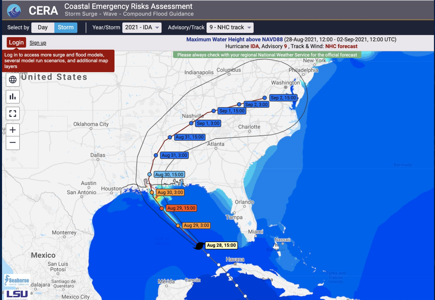
Dawson’s team has been modeling storm surge predictions for two decades, from Hurricane Katrina, Rita, Ike and Harvey to this season’s biggest storm to date, Hurricane Ida. And the storm surge expert will be the first to tell you that each brings its own set of unique characteristics. But lessons can still be learned from each that could inform future responses.
Currently when a hurricane model is running, measurements are being collected at very discrete places – along the coastline and in the ocean, for example – but these points don’t represent every point in every region that might be impacted.
“We need to have a model that provides additional information. If we have that data available to use, it can better inform the models we are currently running,” Dawson said. “And then we can go back and compare the models to the data for a more accurate picture.”
